Topographic Mapping Services in Eugene, Springfield & Lane County
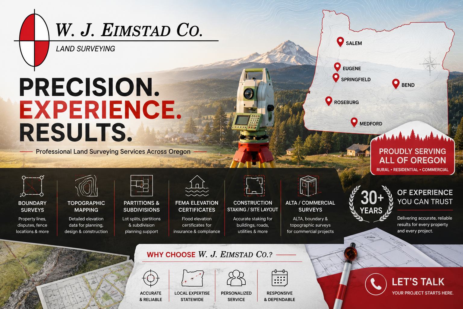
Professional Topographic Surveys & Mapping Since 1995
When planning a construction project, land development, partition, subdivision, drainage improvement, or site design project, accurate topographic mapping is one of the most important first steps. At W.J. Eimstad Co., we provide detailed topographic surveys and mapping services throughout Eugene, Springfield, Lane County, and surrounding Oregon communities to help property owners, engineers, architects, developers, and contractors make informed decisions with confidence.
Since 1995, Bill Eimstad and W.J. Eimstad Co. have provided professional land surveying services backed by decades of field experience and a commitment to precision. Our topographic mapping services provide a clear understanding of existing site conditions, helping clients identify opportunities, reduce costly surprises, and keep projects moving forward efficiently.
What Is a Topographic Survey?
A topographic survey maps both the natural and man-made features located on a property. Using advanced surveying equipment and proven methodologies, we collect precise elevation and location data to create detailed topographic maps that accurately represent the land and its existing conditions.
Topographic surveys typically identify:
- Ground elevations and contour lines
- Hillsides and slopes
- Drainage patterns
- Creeks, streams, and water features
- Trees and vegetation
- Buildings and structures
- Fences and retaining walls
- Roads and driveways
- Utilities and visible infrastructure
- Property improvements
- Significant site features and terrain changes
-
The resulting map provides critical information for engineering, architectural design, permitting, construction planning, and land development projects throughout Eugene, Springfield, and Lane County.
Why Topographic Mapping Matters
Before any significant land improvement project begins, understanding the existing conditions of a property is essential. Accurate topographic data provides the foundation for informed planning and successful project execution.
Site Development Planning
Developers, engineers, and land use professionals rely on topographic surveys to determine how a site can be developed while accounting for terrain, drainage, access, and existing improvements.
Residential Construction
Whether you're building a custom home, shop, barn, ADU, or accessory structure in Eugene, Springfield, or the surrounding area, accurate elevation information helps ensure proper site design and grading.
Land Partitions & Subdivisions
Topographic mapping often supports land partitions, property divisions, and subdivision projects by identifying terrain challenges, drainage concerns, and development opportunities early in the planning process.
Drainage & Stormwater Design
Understanding how water flows across a property is critical for effective stormwater management. Topographic surveys help engineers design drainage systems that reduce erosion and improve site performance.
Utility Planning
Topographic surveys assist with utility design and installation by accurately locating existing improvements and identifying potential conflicts.
Road & Access Design
Roadways, driveways, and access improvements require detailed elevation information to meet engineering standards and local requirements.
Our Topographic Mapping Process
At W.J. Eimstad Co., we take a thorough and systematic approach to every project.
Initial Consultation
We discuss your project goals, timelines, site conditions, and mapping requirements to determine the scope of work needed.
Field Data Collection
Using professional surveying equipment, we collect detailed measurements of elevations, structures, utilities, drainage features, and other site improvements.
Data Processing & Mapping
Field data is carefully processed and transformed into accurate topographic maps and digital deliverables suitable for engineering, architectural, and development purposes.
Final Deliverables
Clients receive professionally prepared survey maps that can be used for permitting, site planning, construction, land use applications, engineering design, and development projects.
Serving Property Owners, Developers & Design Professionals
Our topographic mapping services support a wide range of clients throughout Eugene, Springfield, Lane County, and surrounding communities, including:
- Property Owners
- Home Builders
- Developers
- Engineers
- Architects
- Contractors
- Government Agencies
- Utility Providers
- Land Use Consultants
Whether you need mapping for a small residential property, a commercial development, or a large-scale land development project, we provide dependable survey data you can trust.
Local Experience You Can Count On
With more than 30 years of surveying experience and a business established in 1995, W.J. Eimstad Co. has helped clients throughout Eugene, Springfield, Lane County, and Oregon navigate complex land development and surveying challenges.
Our extensive knowledge of local terrain, property records, municipal requirements, and surveying standards allows us to provide reliable results for projects of every size. From residential lots and rural properties to commercial developments and subdivisions, we deliver accurate information that helps projects move forward with confidence.
Why Choose W. J. Eimstad Co.?
Property owners throughout Eugene, Springfield, and Lane County have trusted W. J. Eimstad Co. for decades because of our commitment to precision, professionalism, and customer service.
We understand that every property and every project is unique. Our goal is to provide clear communication, dependable surveying services, and practical solutions that help our clients achieve their objectives.
Our Advantages
• Established in 1995
• Licensed Professional Land Surveyors
• Extensive boundary resolution experience
• Thorough deed and record research
• Advanced surveying technology
• Accurate and defensible results
• Responsive communication
• Service throughout Oregon
When property boundaries are questioned, experience matters. Our team provides the information you need to make informed decisions and move toward a resolution.
Areas We Serve
We provide land partition surveying services throughout:
- Eugene
- Springfield
- Coburg
- Creswell
- Cottage Grove
- Junction City
- Veneta
- Harrisburg
- Florence
- Lane County
- Corvallis
- Albany
- Salem
- Roseburg
We also serve clients throughout Oregon.
Frequently Asked Questions
What is the difference between a boundary survey and a topographic survey?
A boundary survey identifies property lines and corner locations, while a topographic survey maps elevations, contours, structures, utilities, and physical features located on the property.
Do I need a topographic survey before construction?
In many cases, yes. Engineers, architects, builders, and local jurisdictions often require topographic information before designing improvements or issuing permits.
How long does a topographic survey take?
Project timelines vary based on property size, terrain, vegetation, accessibility, and project complexity. We can provide a timeline after reviewing your specific project.
Can topographic mapping be used for partitions and subdivisions?
Absolutely. Topographic surveys are commonly used to support land partitions, subdivisions, site planning, and development applications.
What areas do you serve?
W.J. Eimstad Co. proudly provides topographic mapping services throughout Eugene, Springfield, Lane County, and surrounding Oregon communities.
W.J. Eimstad Co. – Land Surveying
Phone: (541) 341-3911
Serving Eugene, Springfield, Lane County, and surrounding Oregon communities since 1995.
Need accurate topographic mapping for your project? Contact us today to discuss your surveying needs and schedule a consultation.